Topography, Geophysical, Geotechnical, and MetOcean Survey Services - West Java FSRU Facility Development
(TP | 22/10/2019)
The purpose of the surveys was to provide topography, determine the bathymetry, oceanography or meteorological phenomena, nature of the seabed and sub-bottom geology to evaluate the engineering characteristics of shallow soils and to identify potential geo-hazards, such as seabed obstructions, existing pipelines and submarine cables, pockmarks, buried channels, rocky outcrops, faults and possible shallow gas pockets that could have adverse effects on drilling operations and pipeline installation.
Statistical analyses are done to calculate representative monthly and daily values.
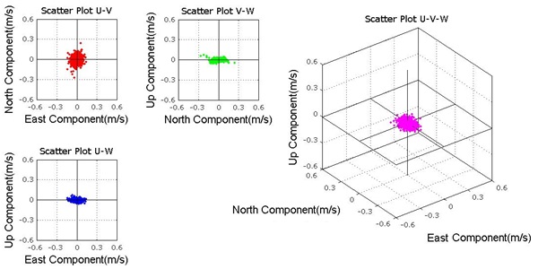
Example of data visualization conducted in the project
The survey which conducted in 30 days is considered success and clear for the data acquired are in good quality with only 2% minor error found on the data.
