Topographical & Bathymetrical Survey Services – Bontang, East Kalimantan
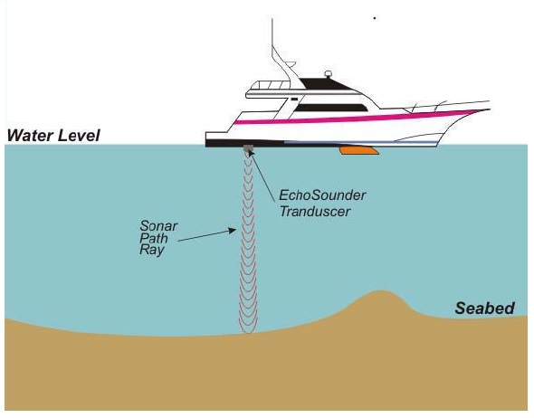
Topographical and Bathymetrical Survey Services were conducted to define the seabed and onshore conditions at the area of ANP. The survey include topographical survey, bathymetrisurvey, seafloor mapping (SSS, side scan sonar), shallow geological imagery (SBP, sub-bottom profiling), seabed sediment sampling (seabed samples), and oceanographic observations (tides, sea currents and temperature). These data will be processed …
Topographical & Bathymetrical Survey Services – Bontang, East Kalimantan Read More »
