SURVEY

bontang

Topographical & Bathymetrical Survey Services – Bontang, East Kalimantan

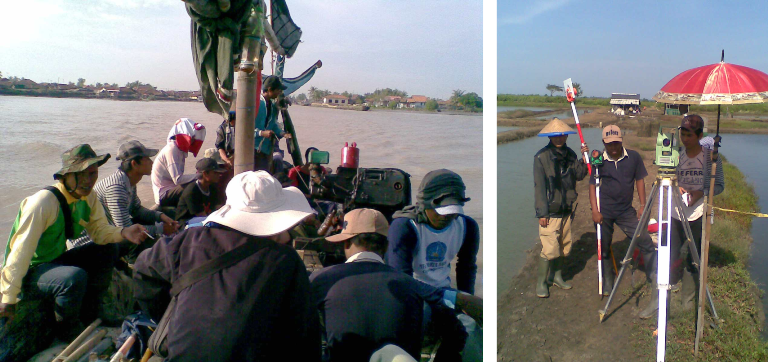
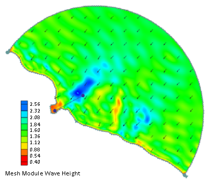
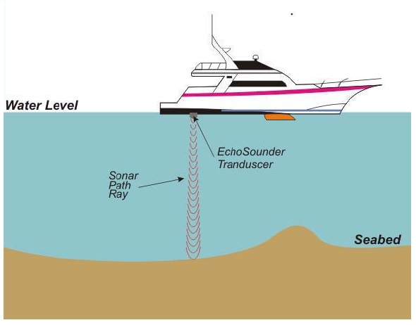
Topographical and Bathymetrical Survey Services were conducted to define the seabed and onshore conditions at the area of ANP. The survey include topographical survey, bathymetrisurvey, seafloor mapping (SSS, side scan sonar), shallow geological imagery (SBP, sub-bottom profiling), seabed sediment sampling (seabed samples), and oceanographic observations (tides, sea currents and temperature). These data will be processed …

Topographical & Bathymetrical Survey Services – Bontang, East Kalimantan Read More »

cilamaya2

Topographic and Hydrographic Survey in Cilamaya

The objective of the survey is to prepare Topographic and Hydrographic maps as the basic/primary data for Planning and Design for Preparatory Survey on Cilamaya new Port Development Area. The service consists of the following surveys and works: Topographic and Hydrographic Surveys at the candidate port development area, Tide Observation at the sites and establishment of …

Topographic and Hydrographic Survey in Cilamaya Read More »

belawan

SURVEY FOR MEDAN LNG FLOATING TERMINAL

The study for Medan LNG Floating Terminal comprises of assessments of wind, wave, tide and current. This study also contains characterization of climate parameters (temperature, humidity, precipitation), prediction of wave breaking, refraction and diffraction modelling, as well as calculation of instantaneous water level elevation due to storm surge.