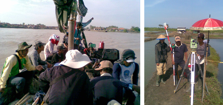
The objective of the survey is to prepare Topographic and Hydrographic maps as the basic/primary data for Planning and Design for Preparatory Survey on Cilamaya new Port Development Area. The service consists of the following surveys and works:
- Topographic and Hydrographic Surveys at the candidate port development area,
- Tide Observation at the sites and establishment of the datum level for the hydrography/bathymetry,
- Establishment of concrete benefit benchmark at the sites, and
- Mapping of Topography and Hydrographic of the candidate port development area.
