Smarter Land Decisions Start Here: Discover the Power of Land Forecasting
Smarter Land Decisions Start Here!
Check it out!
Smarter Land Decisions Start Here!
Check it out!

Flood and Tsunami Early Warning Systems with Machine Learning.
Check it out!
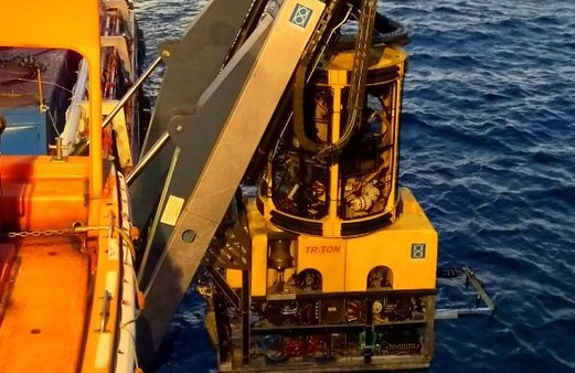
Optimize your maritime projects with us! Check out our fruitful story here!
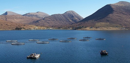
Where to put fish cage?

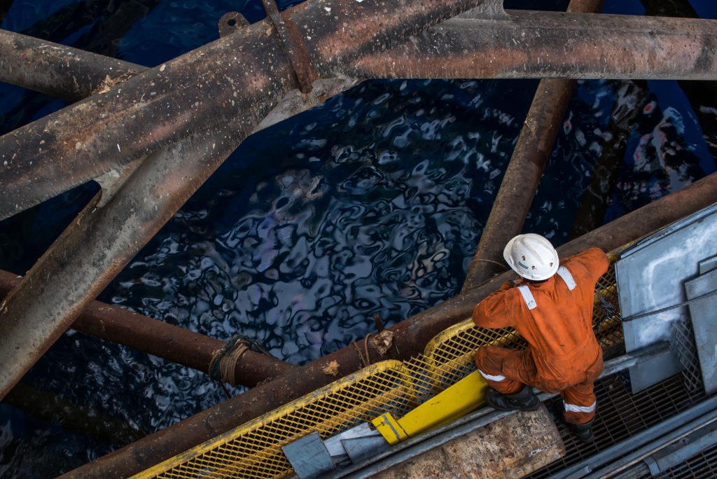
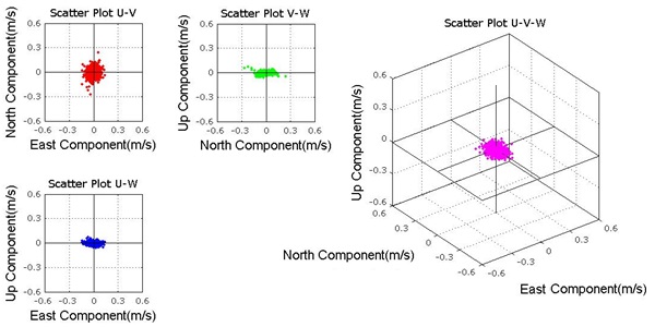
Check out our unique experiences regarding swell ADCP field data handling, here!
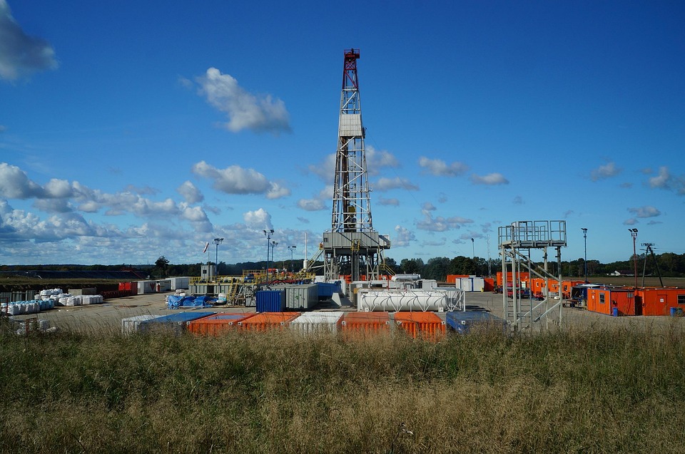
Tidal prediction has become one of BW’s specialties to support decision-making in marine operational, especially in offshore drilling.
“What is the best duration in collecting metocean data?”
There were so many questions that keep popping up!
Purpose of the surveys was to provide topography, determine the bathymetry, oceanography or meteorological phenomena, nature of the seabed and sub-bottom geology to evaluate the engineering characteristics of shallow soils
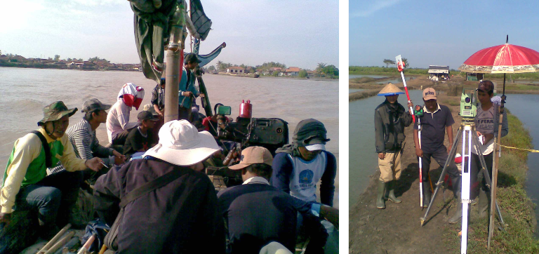
The objective of the survey is to prepare Topographic and Hydrographic maps as the basic/primary data for Planning and Design for Preparatory Survey on Cilamaya new Port Development Area. The service consists of the following surveys and works: Topographic and Hydrographic Surveys at the candidate port development area, Tide Observation at the sites and establishment of …