Alternative Format of Operational Time Window for Your Best Solution
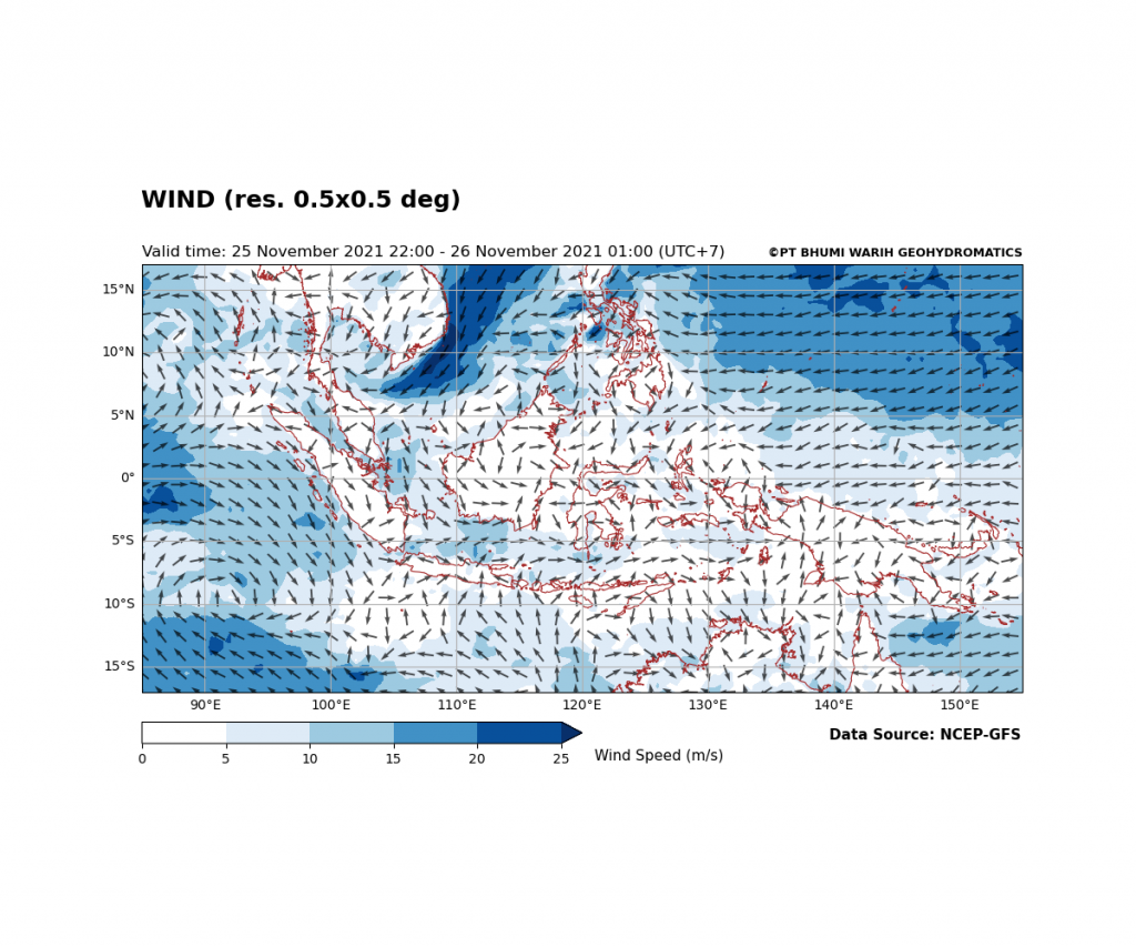
Can we be able to conclude the “best time” for operation based on historical or hindcast data?
Can we be able to conclude the “best time” for operation based on historical or hindcast data?
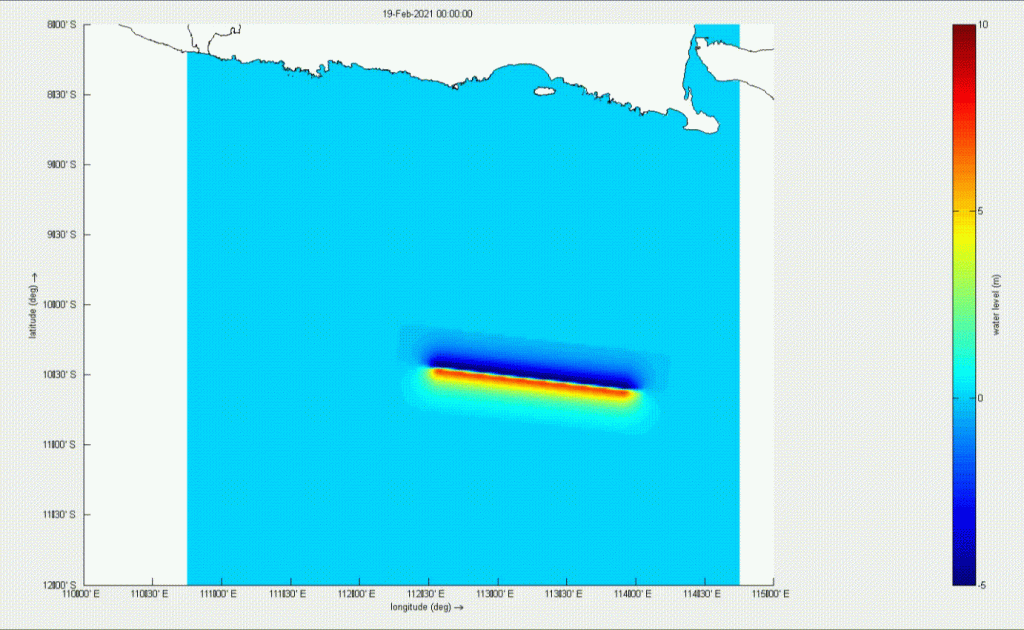
What’s a Tsunami Hazard Assessment look like? What’s so important about tsunami disaster management?
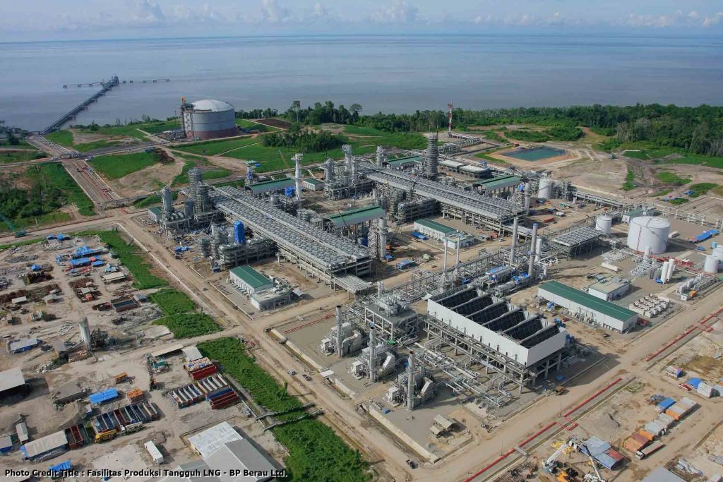
Tidal prediction has become one of BW’s specialties to support decision-making in marine operational, especially in offshore drilling.

When is the safest hours for outdoor activities? You might’ve been wrong all this time!
“What is the best duration in collecting metocean data?”
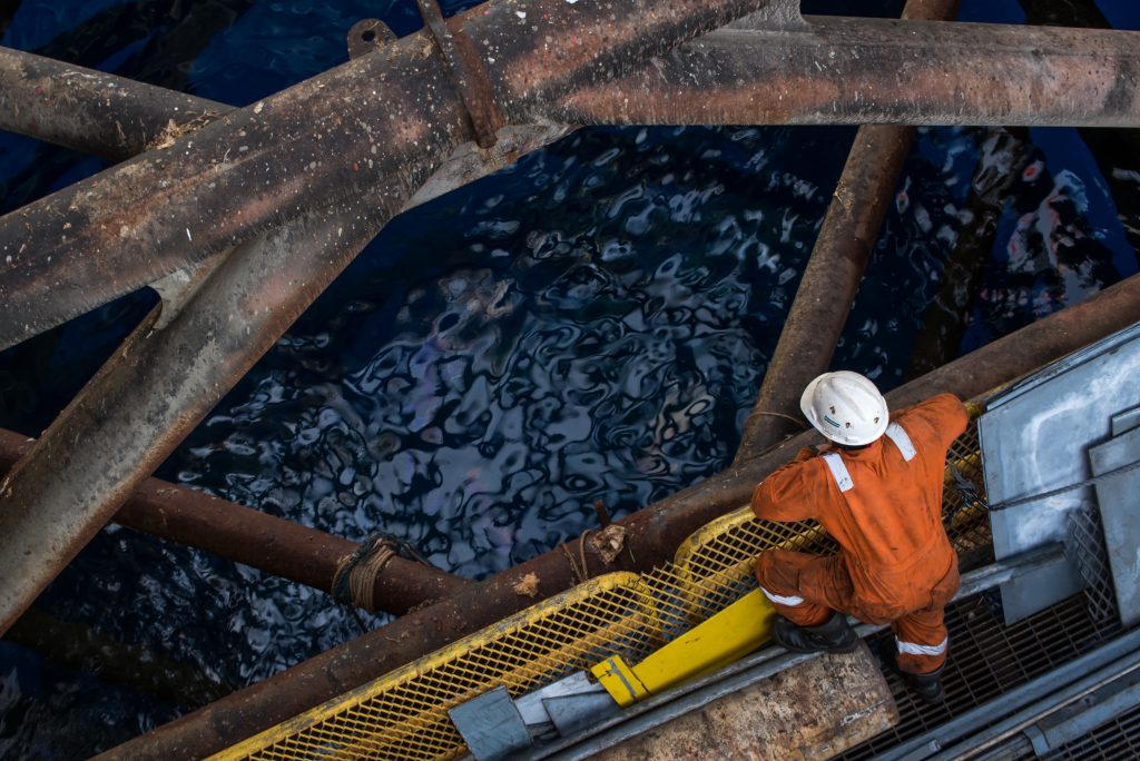
There were so many questions that keep popping up!
Our compliance requirement in Indonesian oil and gas industries, Sertifikat Pengganti Dokumen Administrasi (SPDA) on the Centralized Integrated Vendor Database (CIVD) system, has been updated!
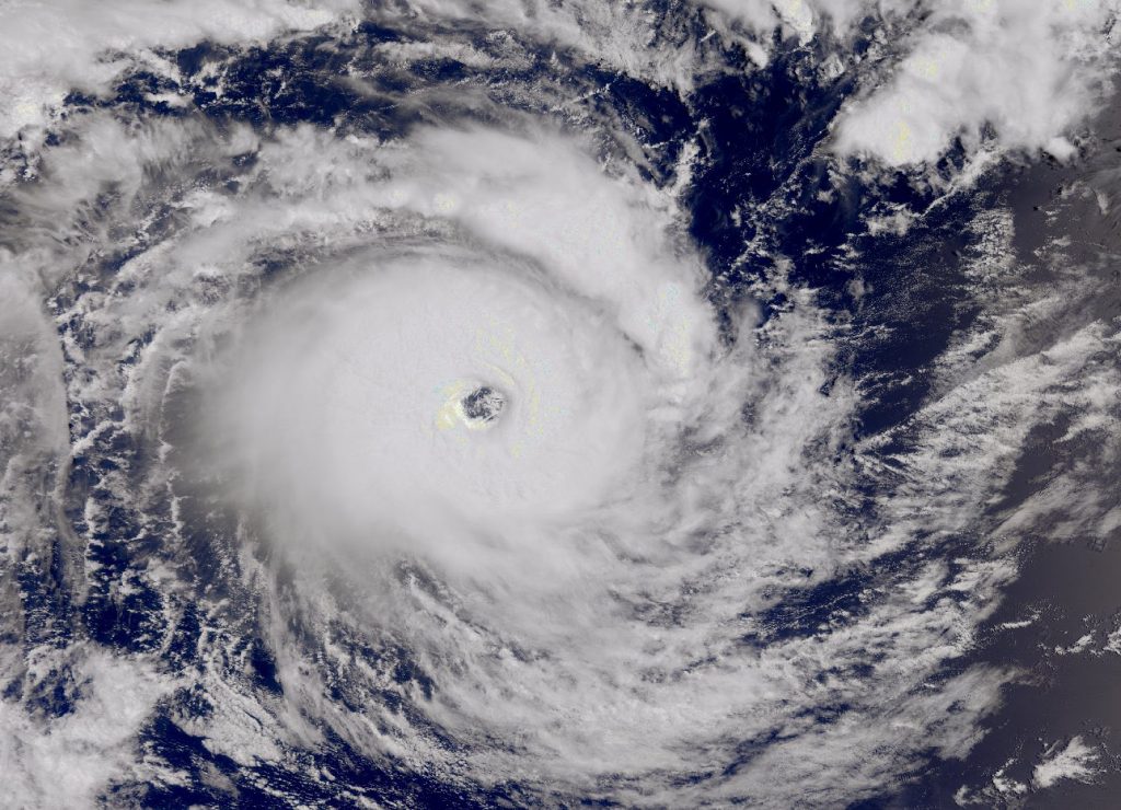
On 5 April 2021, East Nusa Tenggara was struck by sudden heavy pouring rain leading to flash floods and landslides. More than 160 people have been killed, at least 22.000 people have been displaced, and about 2000 homes have been damaged (BNPB, 2021). What is unique about this huge destructive phenomenon …